Tropical Imagery
Links to Specific Sections:
4 km Floaters

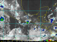


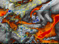
Meteosat 4 km VIS/IR2 Floater
(CIRA Personnel Only)

Meteosat 4 km IR4 Floater
(CIRA Personnel Only)

Meteosat (IO) 4 km VIS/IR2 Floater
(CIRA Personnel Only)

Meteosat (IO) 4 km IR4 Floater
(CIRA Personnel Only)

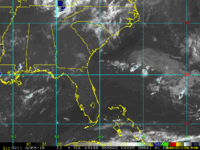
1 km Visible and Radar
GOES-East 1 km Center Relative Visible Floater

GOES-West 1 km Center Relative Visible Floater


Large-area Visible/IR2 and Water Vapor

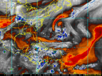
GOES-East 14 km Water Vapor - Long Term 6 Hour Interval


Meteosat 14 km VIS/IR2
(CIRA Personnel Only)

Meteosat 14 km Water Vapor
(CIRA Personnel Only)

Meteosat (IO) 14 km Water Vapor
(CIRA Personnel Only)

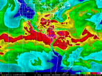
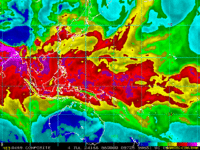
Total Precipitable Water
Meteosat Long-Wave Difference (SAL) - (CIRA Personnel Only)
